1. Popocatépetl Volcano: Risk Context and Societal Relevance
Popocatépetl is one of the world’s most active volcanoes, located in central Mexico, with continuous activity since 1994. Its eruptions, ash plumes, gas emissions, and lava domes pose persistent risks rather than episodic threats. The volcano’s proximity to dense human settlements elevates it from a geological feature to a governance and disaster-management concern.
Nearly 25 million people live within a 100-km radius of the volcano. Critical infrastructure — including houses, schools, hospitals, and five airports — lies within its potential impact zone. Consequently, even moderate eruptions can disrupt transport, health systems, education, and livelihoods.
Despite this exposure, Popocatépetl lacked a high-resolution internal structural map for years. Earlier attempts 15 years ago produced contradictory results with insufficient depth and clarity. This gap constrained predictive capacity and limited evidence-based decision-making by disaster authorities.
If such high-risk natural systems remain poorly understood, disaster preparedness becomes reactive rather than anticipatory, increasing human and economic losses.
Governance logic: Accurate risk assessment is foundational for disaster mitigation; ignoring scientific gaps in high-exposure zones converts natural hazards into governance failures.
2. Scientific Challenge: Understanding the Volcano’s Interior Dynamics
An active volcano is a dynamic system where magma, rocks, gases, and underground water continuously interact. These interactions generate seismic signals that, if properly decoded, reveal subsurface processes critical for eruption forecasting.
Unlike the simplified textbook model of a single magma chamber connected to a vent, Popocatépetl exhibits a complex internal architecture. Without clarity on where magma accumulates and how it migrates, eruption patterns remain difficult to anticipate.
The lack of detailed subsurface imaging limited understanding of why certain areas experience more tremors or why eruptions vary in intensity. This uncertainty weakened both scientific interpretation and administrative preparedness.
Failure to grasp subsurface complexity leads to oversimplified hazard models, which can misguide evacuation planning and early-warning systems.
Governance logic: Disaster risk reduction depends on moving from surface-level observation to structural understanding; ignoring internal complexity undermines preparedness credibility.
3. Institutional Role of UNAM and Scientific Infrastructure Expansion
The research initiative was led by the National Autonomous University of Mexico (UNAM), specifically its Geophysics Institute’s volcanology department. Academic institutions played a central role in bridging long-standing knowledge gaps that operational agencies could not address alone.
To improve resolution, the team expanded seismic monitoring from 12 to 22 seismographs, covering the volcano’s entire perimeter. While three sensors suffice for basic alerts, comprehensive understanding requires dense instrumentation.
These seismographs record ground vibrations 100 times per second, generating large datasets essential for detailed analysis. The effort illustrates how universities complement disaster agencies by focusing on long-term, high-resolution research rather than immediate alerts alone.
If institutional research capacity is underutilized, disaster governance remains dependent on minimal compliance monitoring rather than deep scientific insight.
Governance logic: Robust disaster management systems require synergy between academic research and state agencies; neglecting this weakens evidence-based policymaking.
4. Application of Artificial Intelligence in Volcanology
The project integrated artificial intelligence to analyze vast seismic datasets. Algorithms originally developed for other volcanoes were adapted to Popocatépetl’s unique seismic signatures.
Researchers trained AI models to distinguish between different types of tremors, enabling systematic classification of seismic signals. This allowed inference of material type, temperature, depth, and physical state beneath the volcano.
AI reduced human bias and improved consistency in pattern recognition across years of data. It transformed raw seismic noise into actionable scientific insight, culminating in a detailed subsurface map.
Ignoring AI-driven tools in such data-intensive domains would limit analytical depth and slow response times in hazard assessment.
Governance logic: AI enhances state capacity in managing complex natural systems; failure to adopt it sustains information asymmetry in high-risk governance.
5. Key Scientific Outcome: First 3D Image of Popocatépetl’s Interior
The research produced the first three-dimensional cross-sectional image of Popocatépetl, extending 18 km below the crater. This image revealed multiple magma pools at varying depths rather than a single chamber.
Magma accumulation was found to be more prominent toward the southeast of the crater, separated by rock and other materials. This spatial asymmetry helps explain variations in tremor frequency and eruption behavior.
Such structural clarity enables better interpretation of surface signals and improves eruption forecasting models. It also allows authorities to understand which flanks may face higher risks during specific activity phases.
Without such imaging, disaster responses rely on surface symptoms alone, increasing uncertainty during crises.
Governance logic: High-resolution scientific mapping converts uncertainty into manageable risk; ignoring it leaves authorities blind to subsurface triggers.
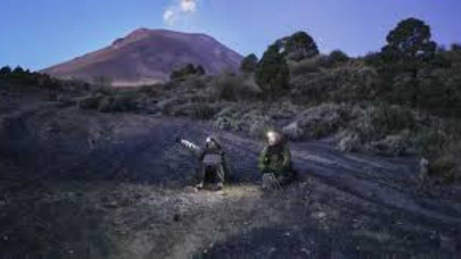
6. Field Research, Human Risk, and Data Limitations
The data collection process involved repeated expeditions over five years, often in harsh and dangerous conditions. Researchers faced risks from weather, volcanic explosions, lahars, and equipment damage.
Data loss occurred due to battery failures, animal interference, and explosions. Restricted access zones exist because of hazards like “volcanic bombs,” one of which caused a fatality in 2022 just 274 m from the crater.
These challenges highlight the physical limits of field-based science and the importance of sustained funding, maintenance, and redundancy in monitoring systems.
If logistical and safety constraints are ignored, long-term monitoring becomes fragile, compromising continuity of data crucial for trend analysis.
Governance logic: Reliable disaster science requires investment in researcher safety and infrastructure resilience; neglect erodes early-warning credibility.
7. Implications for Disaster Management and Public Policy
The study’s findings provide a baseline for future comparisons, enabling authorities to track changes in magma distribution over time. This enhances early-warning systems and supports calibrated evacuation decisions.
Impacts:
- Improved eruption forecasting accuracy
- Better land-use and evacuation planning
- Enhanced public trust through transparent, evidence-based advisories
The project demonstrates how scientific certainty evolves incrementally and why policies must accommodate uncertainty rather than expect definitive predictions.
Failure to integrate such research into policy frameworks risks repeating reactive disaster responses with high social costs.
Governance logic: Translating scientific baselines into policy action strengthens disaster resilience; ignoring them perpetuates reactive governance.
8. Emerging Questions and the Way Forward
While the project resolved key uncertainties, it also raised new questions — particularly why tremors are more frequent on the southeastern flank and what this implies for future eruptions.
Repeated imaging over time could allow dynamic models of magma movement, transforming static maps into predictive tools. This aligns with long-term disaster risk reduction strategies rather than short-term crisis management.
Sustained collaboration between universities, disaster agencies, and policymakers will be essential to institutionalize such science-led governance.
Ignoring emerging questions stalls scientific progress and leaves hazard management incomplete.
Governance logic: Science-driven governance is iterative; stopping at first answers limits adaptive capacity.
Conclusion
The Popocatépetl study underscores the critical role of advanced science, institutional capacity, and technology in managing high-risk natural systems. By converting subsurface uncertainty into actionable knowledge, it strengthens disaster preparedness and long-term resilience. Integrating such research into governance frameworks is essential for protecting lives, infrastructure, and sustainable development in hazard-prone regions.