1. Aravalli Landscape as the Epicentre of Illegal Mining
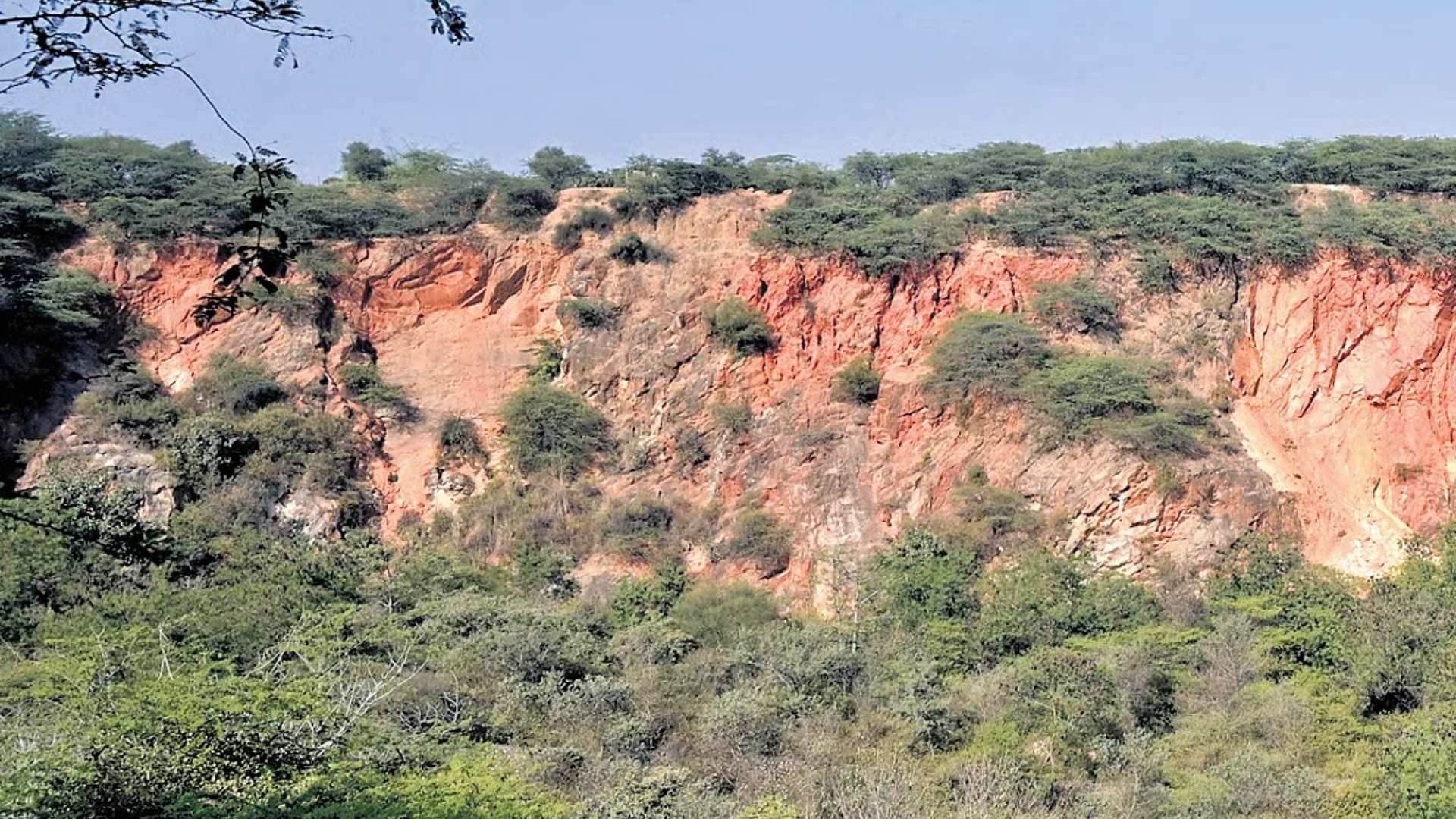
The Aravalli range in Rajasthan has emerged as the focal point of the State’s mining governance crisis. Although these districts host roughly 70% of the Aravalli range, their contribution to legal mining activity is comparatively modest.
Despite accounting for less than 45% of Rajasthan’s mining leases and only 40% of its total mineral output, Aravalli districts register a disproportionately high incidence of illegal mining. This reveals a structural enforcement deficit concentrated in a specific ecological region.
The concentration of illegal activity indicates that regulatory mechanisms are weaker precisely where ecological sensitivity is highest. If unaddressed, this undermines both environmental protection and the rule of law.
The core governance issue is spatial mismatch: areas with the highest ecological value are also where regulatory capacity and legal clarity are most fragile.
Key statistics:
- Share of illegal mining cases from Aravalli districts: >56%
- Share of FIRs related to illegal mining: >77%
- Share of legal mineral output: ~40%
2. Legal Ambiguity in Defining the Aravalli Hills
A central driver of illegal mining has been the absence of a uniform, legally consistent definition of what constitutes an “Aravalli hill.” This definitional ambiguity has enabled selective interpretation and regulatory evasion across States.
Since 2010, expert agencies such as the Forest Survey of India (FSI) have used physical parameters — slope, foothill buffers, valley width, and hill enclosure — to identify Aravalli formations. However, these criteria lacked statutory uniformity.
Recognising this gap, the Supreme Court in May 2024 flagged inconsistent definitions as a key enabler of illegal mining and initiated steps to evolve a scientifically robust, nationally applicable definition.
Without legal clarity, enforcement agencies remain constrained, allowing mining activities to exploit definitional grey zones.
Clear legal definitions are foundational to environmental governance; ambiguity directly translates into regulatory leakage.
3. Institutional Responses and the Ongoing Legal Tussle
To resolve definitional inconsistencies, the Supreme Court constituted a committee led by the Union Environment Secretary, involving the FSI, Geological Survey of India, State Forest Departments, and the Central Empowered Committee.
A technical committee in 2024 proposed that landforms with a slope of at least 4.57 degrees and a minimum height of 30 metres be classified as Aravalli hills. This approach aimed to preserve ecological continuity using scientific criteria.
However, the Environment Ministry suggested a narrower definition, limiting Aravalli hills to landforms rising 100 metres above local relief and clustering hills within 500 metres. This approach was reflected in the Supreme Court’s November 2025 order.
Experts, including the FSI and the amicus curiae, warned that this narrower definition could exclude large portions of the range, potentially opening them to mining. Subsequent public protests led the Court to keep the judgment in abeyance and the Union government to freeze new mining leases in the interim.
The episode highlights institutional tension between ecological science and administrative convenience, with long-term consequences for conservation.
4. Implications for Rajasthan’s Mining Governance
Reclassification of landforms has direct regulatory consequences. Areas excluded from the Aravalli definition fall outside specific mining controls and moratoria, making them vulnerable to legal and illegal extraction.
The stakes are particularly high for Rajasthan, which contains about 560 km of the ~800 km long Aravalli range and 20 of the 37 Aravalli districts. The State also hosts 16 of the 22 wildlife sanctuaries in the Aravalli landscape, including three tiger reserves — Ranthambore, Sariska, and Mukundra.
Data from 2020–2023 show that illegal mining is geographically concentrated: 15,772 of 28,166 cases were registered in Aravalli districts, alongside nearly 77.5% of related FIRs. Yet these districts produced only 918.8 million tonnes, or 40.6%, of the State’s mineral output between 2015–2022.
This imbalance shows that the Aravallis bear a disproportionate burden of mining-related lawlessness without commensurate economic gains.
Weak spatial regulation converts ecologically sensitive regions into enforcement blind spots.
5. Ecological Significance of the Aravalli Range
Beyond mining and law, the Aravallis perform critical ecological functions in north-west India. As one of the world’s oldest mountain systems, they act as a natural barrier slowing the eastward spread of sand and dust from the Thar Desert.
The range supports groundwater recharge in an arid and semi-arid region, moderates local climate, and serves as an important wildlife corridor linking fragmented habitats.
Degradation of the Aravallis therefore has cascading impacts across Rajasthan, Haryana, and western Uttar Pradesh. If protections are diluted, ecological damage could become irreversible.
Environmental governance failures in the Aravallis translate into regional climate, water, and biodiversity risks.
Conclusion
The crisis in the Aravalli landscape reflects deeper governance challenges at the intersection of environmental law, scientific expertise, and mineral regulation. Ensuring a scientifically grounded and legally uniform definition of the Aravallis is essential to curb illegal mining and protect a critical ecological system. Over the long term, regulatory clarity and institutional coherence will determine whether development and conservation can be balanced sustainably in Rajasthan.