Ice Patches on Melting Glaciers Pose Greater Risks than Anticipated

ISRO researchers reveal how exposed ice patches indicate deglaciation and increase flood risks in Uttarakhand's Srikanta Glacier region.
G
Gopi
4 mins read
ISRO Study Links Himalayan Flash Floods to Glacier Ice-Patch Collapse

Introduction

The Himalayan cryosphere is undergoing rapid transformation due to climate change. According to the International Centre for Integrated Mountain Development (ICIMOD), the Hindu Kush Himalaya region could lose up to one-third of its glaciers by 2100 even if global warming is limited to 1.5°C. India has around 9,500 glaciers covering ~37,000 sq km, making glacier stability crucial for water security and disaster risk management. A recent ISRO study (2025) on the Dharali flash flood in Uttarakhand highlights emerging cryo-hydrological hazards caused by glacier retreat and exposed ice patches.


Background: Dharali Flash Flood (2025)

  • On 5 August 2025, a flash flood destroyed Dharali village in Uttarkashi district, Uttarakhand, causing loss of lives and infrastructure damage.
  • The flood was triggered by the collapse of an exposed ice patch in the nivation zone of the Srikanta Glacier.
  • The event occurred in the upper Bhagirathi river basin, a glacier-fed system vulnerable to climate-driven hazards.

Geographical Setting

FeatureDetails
GlacierSrikanta Glacier
Peak Height6,133 m
Distance from Dharali~9.8 km upstream
River SystemKhir Gad (glacier-fed stream) → Bhagirathi River
Village Elevation2,650–2,700 m

The Khir Gad stream divides Dharali village, increasing its exposure to flash flood hazards.


Key Cryospheric Concepts

1. Deglaciation

Deglaciation refers to the retreat or shrinkage of glaciers due to rising temperatures.

Drivers

  • Global warming
  • Reduced snowfall
  • Increased glacier melting
  • Reduced insulating snow cover

Impacts

  • Glacier thinning
  • Formation of unstable ice surfaces
  • Increased risk of cryospheric hazards.

2. Nivation

Nivation is the erosion of ground beneath and around snowbanks due to repeated freezing and thawing.

Process

  • Snow accumulates repeatedly in the same location.
  • Freeze–thaw cycles erode the surface.
  • Over time, nivation hollows form.

These hollows can store snow and ice and later become sites of instability.


3. Firn

FeatureDescription
DefinitionIntermediate stage between snow and glacial ice
FormationCompaction of snow over multiple seasons
ImportanceActs as insulation protecting underlying glacier ice

When firn and snow layers thin, the underlying ice becomes exposed, increasing instability.


Mechanism of the Dharali Flash Flood

The ISRO study reconstructed the disaster sequence using satellite imagery, topographic data, and visual records.

Sequence of Events

  1. Deglaciation and warming temperatures reduced snow and firn cover.

  2. Exposed ice patches appeared in the nivation zone during the ablation period.

  3. Exposed ice became structurally unstable on steep slopes.

  4. Collapse of the ice patch released:

    • Ice fragments
    • Meltwater
    • Debris
  5. The material rushed downstream through Khir Gad stream, triggering a flash flood in Dharali.


Ablation Period and Glacier Instability

The ablation period refers to the time when glaciers lose ice due to melting and sublimation.

FactorEffect
Higher temperaturesIncreased ice melt
Heavy rainfallWeakens exposed ice
Reduced snow coverLoss of insulation
Steep slopesIncreased likelihood of collapse

Exposed ice during this period becomes highly sensitive to climatic variations.


Cryospheric Hazards in the Himalaya

The study expands the range of recognized hazards beyond Glacial Lake Outburst Floods (GLOFs).

Hazard TypeDescriptionExample
Glacial Lake Outburst Flood (GLOF)Sudden release of water from glacial lakesSouth Lhonak Lake Flood (Sikkim, 2023)
Rock–Ice AvalancheCollapse of rock and glacier iceChamoli Disaster (2021)
Ice Patch CollapseFailure of exposed glacier ice patchesDharali Flash Flood (2025)
Debris FlowRapid movement of sediment and waterHimalayan cloudburst events

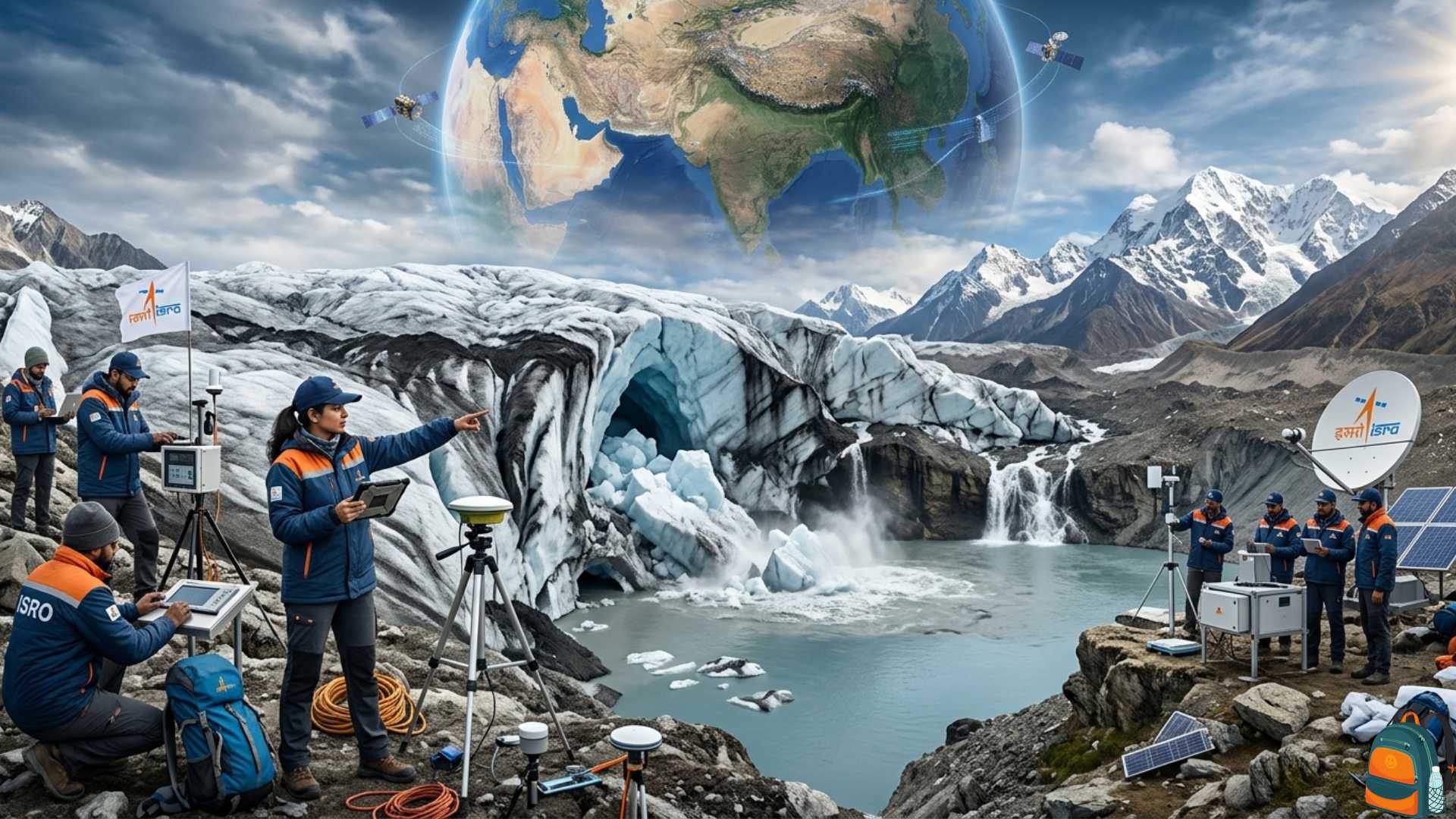
Importance of Satellite Monitoring

The study highlights the role of Earth observation technologies in early warning.

Applications

  • Detecting exposed ice patches
  • Monitoring snow and firn thickness
  • Mapping nivation hollows
  • Tracking glacier retreat
  • Early warning for downstream settlements.

Key Indian Satellite Systems

SatelliteRole
CartosatHigh-resolution terrain mapping
ResourcesatLand and glacier monitoring
RISATRadar imaging through cloud cover

Satellite-based monitoring is essential for remote Himalayan terrains where ground observation is difficult.


Implications for Disaster Risk Reduction

Emerging Risks

  • Increasing cryospheric instability due to climate change.
  • Hazards occurring without large glacial lakes.
  • Vulnerability of high-altitude villages and infrastructure.

Policy Challenges

  • Limited monitoring of small glaciers and ice patches.
  • Lack of local early warning systems.
  • Weak integration of cryosphere science into disaster management.

Way Forward

Strengthening Cryosphere Monitoring

  • Systematic mapping of nivation hollows and exposed ice patches.
  • Use of satellite-based glacier monitoring networks.

Improving Early Warning Systems

  • Real-time satellite data integration.
  • Installation of automatic weather stations and glacier sensors.

Climate Adaptation in the Himalaya

  • Hazard zonation for mountain settlements.
  • Strengthening glacier research institutions.
  • Integrating cryospheric risks into National Disaster Management Authority (NDMA) frameworks.

As glaciologist Lonnie Thompson observed, “Glaciers are the best barometers of climate change.” Their instability directly translates into risks for downstream communities.


Conclusion

The Dharali flash flood demonstrates that climate-driven glacier retreat is creating new and previously under-recognised hazards in the Himalaya. The collapse of exposed ice patches and instability in nivation zones highlight the need to expand glacier hazard monitoring beyond GLOFs. Integrating satellite monitoring, cryosphere research, and disaster management policies will be crucial to protect vulnerable Himalayan ecosystems and communities.


UPSC Mains Question

“Deglaciation in the Himalaya is giving rise to new cryospheric hazards beyond glacial lake outburst floods.” Discuss in the context of recent scientific findings and suggest measures for disaster risk reduction. (250 words)

Quick Q&A

Everything you need to know

Cryo-hydrological hazards refer to disasters that originate from interactions between the cryosphere (glaciers, snow, and ice) and hydrological processes such as meltwater flow, rainfall, and river systems. These hazards occur when unstable ice masses, glacial lakes, or snow accumulations suddenly release water, ice, and debris, triggering flash floods, landslides, or debris flows in downstream areas. The Dharali flash flood of August 5, 2025, in Uttarakhand represents an emerging type of such hazard linked to glacier retreat and climate-induced cryospheric instability.

The immediate trigger of the disaster was the collapse of an exposed ice patch located in the nivation zone of the Srikanta Glacier in the upper Bhagirathi river basin. Nivation refers to the erosion and hollow formation beneath persistent snow patches due to repeated cycles of freezing and thawing. Over time, this process creates depressions called nivation hollows, which can accumulate snow and ice. When warming temperatures thin the protective snow and firn layers, the underlying ice becomes exposed and unstable. In the Dharali case, satellite imagery showed exposed ice patches during the ablation season, indicating that the insulating snow layer had weakened.

Sequence of events:

  • Deglaciation reduced the thickness of seasonal snow and firn cover.
  • Exposed ice patches formed on steep slopes of the Srikanta Glacier.
  • The unstable ice patch collapsed suddenly during the ablation period.
  • The collapse released a mixture of ice, meltwater, and debris into the Khir Gad stream.
  • This rapidly travelled downstream and triggered a flash flood that devastated Dharali village.


Broader significance: The event demonstrates that glacier-related disasters are not limited to glacial lake outburst floods (GLOFs). Smaller cryospheric instabilities such as ice-patch failures can also trigger catastrophic floods. This expands the range of hazards associated with Himalayan glacier retreat and highlights the need for improved monitoring and early warning systems in fragile mountain ecosystems.

Exposed ice patches are increasingly recognised as indicators of glacier instability in a warming climate. Under normal conditions, glaciers are protected by layers of seasonal snow and firn—a transitional form of ice between snow and glacial ice. These layers act as an insulating cover that stabilises the underlying ice mass and reduces its direct exposure to temperature fluctuations and precipitation. However, rising temperatures and accelerated glacier melting are thinning this protective layer, exposing bare ice surfaces that are more vulnerable to environmental changes.

Why exposed ice patches are dangerous:

  • Rapid melting: Bare ice absorbs more solar radiation than snow-covered surfaces, accelerating melting.
  • Structural instability: Without the stabilising snow cover, ice blocks can fracture or detach from steep slopes.
  • Hydrological release: Melting or collapsing ice patches can release large volumes of meltwater and debris.
  • Flash flood risk: This sudden release can trigger flash floods or debris flows in downstream valleys.


Climate change context: Deglaciation in the Himalayas is exposing more such ice patches, particularly during the ablation season, when glaciers lose mass due to melting and sublimation. As snow cover thins, areas previously stabilised by snow and firn become susceptible to collapse. Studies from the Canadian Arctic and Greenland have also shown similar patterns, indicating that such hazards are part of a broader global trend associated with climate warming.

Implications for Himalayan regions: The Himalayas host thousands of glaciers feeding major river systems such as the Ganga, Brahmaputra, and Indus. Increasing exposure of unstable ice patches could lead to more frequent cryospheric hazards, threatening mountain communities and downstream settlements. Therefore, recognising exposed ice patches as early indicators of glacier instability is crucial for climate risk assessment and disaster preparedness in the region.

Satellite observations and remote sensing technologies play a crucial role in monitoring glaciers and identifying early warning signals of cryospheric hazards. The Himalayan region is remote, rugged, and difficult to access, making continuous ground-based monitoring challenging. Satellite imagery allows scientists to observe glacier dynamics, snow cover changes, and surface instability across large and inaccessible mountain regions.

Key capabilities of satellite-based monitoring:

  • Detection of exposed ice patches: High-resolution imagery can identify thinning snow cover and exposed glacier ice before disasters occur.
  • Monitoring glacier retreat: Long-term satellite datasets track changes in glacier length, area, and volume.
  • Identifying unstable slopes: Satellite-based topographic analysis can reveal steep terrain prone to avalanches or ice collapses.
  • Tracking glacial lakes: Remote sensing helps monitor the expansion of glacial lakes and assess the risk of GLOFs.


Application in the Dharali flash flood: In the Srikanta Glacier case, pre-event satellite imagery revealed exposed ice patches persisting in the nivation zone during the ablation period. This indicated that seasonal snow and firn layers had thinned significantly due to deglaciation. Such observations, if integrated into monitoring systems, could act as warning signals of potential glacier instability.

Policy relevance: Integrating satellite data with hydrological models and disaster management systems can help governments develop real-time early warning systems. For instance, India’s space agencies such as ISRO already operate earth-observation satellites capable of monitoring glacier dynamics. When combined with local monitoring networks and disaster management agencies, these technologies can significantly enhance preparedness and reduce loss of life in fragile Himalayan ecosystems.

The Dharali flash flood provides important lessons for disaster preparedness in the fragile Himalayan ecosystem. Mountain environments are highly sensitive to climatic and geological changes, and even small disturbances in glaciers or slopes can trigger large downstream disasters. Events such as the Dharali flash flood, the 2021 Chamoli rock-ice avalanche, and the 2013 Kedarnath floods highlight the increasing vulnerability of Himalayan regions to cryospheric and hydrological hazards.

Key lessons from these events:

  • Need for expanded hazard recognition: Disaster monitoring must go beyond glacial lake outburst floods (GLOFs) to include smaller but dangerous processes such as ice-patch collapse, avalanches, and nivation hollow instability.
  • Importance of early warning systems: Satellite monitoring, real-time hydrological sensors, and community alert systems can provide timely warnings to downstream settlements.
  • Land-use planning: Settlements located along glacier-fed streams, such as Dharali along the Khir Gad stream, require risk-sensitive infrastructure planning.
  • Community preparedness: Local communities must be trained in evacuation procedures and disaster response strategies.


Case comparison: The Chamoli disaster of February 2021 involved a massive rock-ice avalanche that triggered flooding in the Rishiganga and Dhauliganga rivers. Similar to Dharali, it was linked to cryospheric instability caused by warming temperatures and glacier retreat.

Way forward: Disaster preparedness in the Himalayas should combine scientific monitoring, community participation, and climate adaptation strategies. Strengthening coordination between research institutions, disaster management agencies, and local governments will be critical to reduce the risks posed by increasingly unstable mountain environments.

Deglaciation in the Himalayas is one of the most significant environmental challenges facing South Asia. The Himalayas contain the largest concentration of glaciers outside the polar regions and serve as the source of major rivers such as the Ganga, Brahmaputra, and Indus. These glaciers act as natural water reservoirs, regulating river flows and sustaining agriculture, ecosystems, and livelihoods for millions of people. However, rising global temperatures are accelerating glacier retreat, creating new environmental and socio-economic risks.

Major risks associated with deglaciation:

  • Increased disaster frequency: Melting glaciers increase the risk of glacial lake outburst floods, avalanches, and flash floods.
  • Water security challenges: Initial increases in meltwater may be followed by long-term reductions in river flows as glaciers shrink.
  • Geomorphic instability: Deglaciation exposes unstable slopes, increasing landslide and debris-flow risks.
  • Ecosystem disruption: Changes in temperature and hydrology can alter alpine ecosystems and biodiversity.


Development implications: Many Himalayan regions depend on hydropower projects, tourism, and agriculture. Increasing cryospheric instability threatens infrastructure such as dams, roads, and power plants located in narrow mountain valleys. For example, the Chamoli disaster damaged hydropower infrastructure and caused significant economic losses.

Critical perspective: While development in the Himalayas is necessary, it must be balanced with ecological sensitivity. Unregulated infrastructure expansion, deforestation, and construction in fragile zones can amplify disaster risks. Therefore, a sustainable development approach—incorporating environmental impact assessments, climate-resilient infrastructure, and glacier monitoring—is essential to protect both livelihoods and ecosystems.

Nivation hollows are geomorphological depressions formed beneath persistent snow patches due to repeated cycles of freezing and thawing. These hollows often accumulate snow and ice over long periods, creating zones where cryospheric processes interact with slope instability. Although they have been studied in other cold regions, their significance in the Himalayas has only recently been recognised through events such as the Dharali flash flood.

Why nivation hollows are important hazard zones:

  • Ice accumulation: Snow repeatedly accumulates in the hollow, gradually forming thicker ice layers.
  • Exposure during warming: Rising temperatures thin the protective snow cover, exposing underlying ice patches.
  • Structural weakness: The steep slopes surrounding the hollow can cause sudden ice collapse or debris movement.
  • Downstream hazard potential: Ice collapse can release meltwater and debris, triggering flash floods or landslides.


Dharali case study: The Srikanta Glacier’s nivation zone contained exposed ice patches that became unstable during the ablation season. The eventual collapse of one such patch triggered the flash flood that devastated Dharali village. This demonstrates how seemingly small cryospheric features can generate significant downstream hazards.

Implications for disaster risk reduction: Systematic mapping and monitoring of nivation hollows using satellite imagery and field surveys can help identify high-risk zones across the Himalayas. Integrating this information into regional hazard assessments will allow authorities to anticipate potential disasters.

Policy significance: Including nivation hollow monitoring in glacier observation programmes can strengthen early warning systems and disaster preparedness strategies. As deglaciation accelerates under climate change, recognising such micro-scale geomorphic features will become increasingly important for protecting vulnerable mountain communities.

Attribution

Original content sources and authors

Sign in to track your reading progress

Comments (0)

Please sign in to comment

No comments yet. Be the first to comment!