GS3 Infrastructure

Great Nicobar Project: Strengthening India’s Maritime Strategy and Indo-Pacific Presence

Transforming Great Nicobar: A Strategic Development Initiative

The Great Nicobar Island Development Project aims to enhance maritime security and connectivity while boosting India's defence capabilities.
Gopi Gopi
4 mins read

“Who controls the sea lanes controls the flow of global commerce.” — Alfred Thayer Mahan

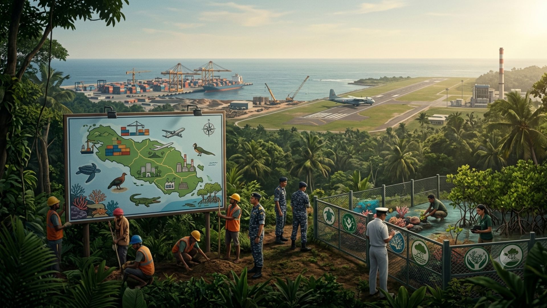
The Great Nicobar Island Development Project represents one of India's most ambitious strategic infrastructure initiatives in the Indian Ocean Region (IOR). With an estimated investment of ₹13,000 crore, the project aims to transform Great Nicobar into a major maritime, economic and security hub while simultaneously addressing environmental and tribal concerns.

Why Great Nicobar Matters

Great Nicobar occupies a highly strategic location.

Strategic FeatureSignificance
Near Six Degree ChannelOne of the world's busiest shipping routes
LocationConnects Gulf of Aden with Malacca Strait
RegionIndian Ocean Region (IOR)
ImportanceMonitoring global maritime trade

The island lies approximately 40 km from the Six Degree Channel, through which a significant share of global maritime commerce passes.

Gulf of Aden
      ↓
Six Degree Channel
      ↓
Malacca Strait

Major Global Sea Trade Route

This location gives India a unique opportunity to strengthen its maritime presence and secure critical Sea Lanes of Communication (SLOCs).

Key Components of the Project

The development plan consists of four major components:

ComponentPurpose
International Container Trans-shipment Port (ICTP)Maritime trade hub
Greenfield Airport & Naval Air StationCivilian and defence operations
Modern TownshipUrban and economic development
Power PlantEnergy support infrastructure

Together, these components are expected to create a comprehensive maritime and economic ecosystem.

Dual-Use Airport: Strategic Significance

A central feature of the project is the joint-user greenfield airport.

Key Features

  • Estimated project cost: ₹13,000 crore.

  • Jointly funded by:

    • Ministry of Defence
    • Ministry of Civil Aviation
  • To be operated by the Indian Navy.

  • Expected completion period: Five years.

Strategic Benefits

  • Improved Maritime Domain Awareness (MDA).
  • Enhanced logistics support.
  • Faster deployment of military assets.
  • Strengthened surveillance capabilities across the eastern Indian Ocean.

The airport will support both civilian and military operations, making it a classic example of dual-use infrastructure.

Economic and Connectivity Benefits

The project is not solely defence-oriented.

Expected Outcomes

  • Reduced dependence on foreign trans-shipment ports.
  • Improved regional connectivity.
  • Promotion of tourism.
  • Development of port-led economic activities.
  • Greater integration with Indo-Pacific trade networks.

The Airports Authority of India estimates:

IndicatorProjection
Passenger Capacity by 20401.35 million annually
Strategic Hub
      +
Trade Hub
      +
Tourism Hub
      =
Integrated Maritime Economy

Site Selection Process

Before finalising Galathea Bay, authorities examined five potential locations.

Why INS Baaz Was Not Expanded?

Reported constraints included:

  • Limited scope for future expansion.
  • Technical challenges.
  • Environmental considerations.

Consequently, Galathea Bay was selected as the most viable option.

Environmental and Ecological Safeguards

The project has generated concerns regarding biodiversity conservation.

Environmental Assessment Institutions Involved

  • Zoological Survey of India (ZSI)
  • Wildlife Institute of India (WII)
  • Salim Ali Centre for Ornithology and Natural History (SACON)

Land Use Distribution

CategoryStatus
Development Area166.1 sq km
Protected AreaMore than 81% of island area

Protected areas include:

  • Forests
  • Biosphere reserves
  • National parks
  • Tribal conservation zones

Conservation Package

A dedicated package worth ₹2,220 crore over 30 years has been proposed.

Focus areas include protection of:

  • Leatherback turtles
  • Nicobar megapodes
  • Crocodiles
  • Coral reefs
  • Mangrove ecosystems

Tribal Rights and Social Considerations

Concerns have also been raised regarding indigenous communities.

Officials have stated that:

  • No physical displacement of tribal communities is proposed.

  • Consultations were conducted with:

    • Tribal welfare authorities
    • Representative tribal bodies

The objective is to ensure development without compromising indigenous rights and cultural identity.

Employment and Regional Development

The project is expected to generate significant economic opportunities.

Expected Impact

  • More than 1 lakh direct and indirect jobs.
  • Growth in logistics and port services.
  • Tourism-related employment.
  • Infrastructure-led regional development.

Way Forward

  • Ensure transparent environmental monitoring throughout implementation.
  • Strengthen tribal participation in decision-making processes.
  • Adopt sustainable infrastructure and green technologies.
  • Integrate conservation objectives with economic development.
  • Enhance maritime security while preserving ecological resilience.
  • Establish periodic review mechanisms for social and environmental impacts.

Conclusion

The Great Nicobar Island Development Project reflects India's broader vision of becoming a leading maritime power in the Indo-Pacific. By combining strategic infrastructure, defence preparedness, economic development and environmental safeguards, the project seeks to transform Great Nicobar into a critical gateway for trade and security. Its long-term success, however, will depend on maintaining a careful balance between national interests, ecological sustainability and protection of indigenous communities.

Attribution

Original content sources and authors

Saurabh Trivedi Author Saurabh Trivedi The Hindu Source The Hindu

Syllabus classification

How this article maps to GS papers

Main syllabus

GS3Infrastructure

Also covers

GS3Science & TechnologyGS3Environment & Bio-diversity

Quick Q&A

What is the Great Nicobar Island Development Project and what is its strategic significance for India’s maritime interests?
The Great Nicobar Island Development Project is a major infrastructure initiative aimed at transforming the southernmost island of the Andaman and Nicobar archipelago into a strategic maritime and economic hub. The project includes four major components: an International Container Trans-shipment Port (ICTP), a dual-use greenfield airport and Naval Air Station, a modern township and a power plant. Around ₹13,000 crore is proposed for the airport component, while the broader project is intended to strengthen India's maritime capabilities and regional connectivity. Great Nicobar is located approximately 40 km from the Six Degree Channel, one of the busiest Sea Lanes of Communication (SLOCs) linking the Gulf of Aden with the Malacca Strait. Nearly a substantial portion of global trade passes through these routes, making the island strategically significant for monitoring maritime traffic and ensuring security in the Indian Ocean Region (IOR). The project supports India's SAGAR (Security and Growth for All in the Region) vision and complements the Indo-Pacific strategy. It also seeks to reduce India's dependence on foreign trans-shipment hubs such as Colombo, Singapore and Port Klang. The dual-use airport operated by the Indian Navy will improve maritime domain awareness and rapid deployment capabilities. For UPSC GS Paper III, the project intersects infrastructure, ports and waterways, internal security and economic development. From an interview perspective, it demonstrates how strategic geography can be leveraged for national security, trade facilitation and regional influence while balancing ecological and tribal concerns.
Why is the Great Nicobar Island Development Project considered important for India’s security and economic aspirations?
The Great Nicobar Island Development Project is important because it simultaneously addresses India's strategic, economic and geopolitical objectives. In the context of increasing competition in the Indo-Pacific and the rise of China's maritime presence, strengthening India's foothold in the Indian Ocean Region has become a national priority. Economically, the International Container Trans-shipment Port aims to reduce India's reliance on foreign ports for cargo trans-shipment. At present, a significant share of Indian cargo is routed through ports such as Colombo and Singapore, resulting in additional costs and logistical dependence. A domestic trans-shipment facility can improve efficiency, reduce costs and enhance India's role in global supply chains. From a security perspective, the proposed joint-user airport and Naval Air Station will strengthen maritime domain awareness and facilitate surveillance, logistics and rapid deployment. This becomes crucial for securing critical Sea Lanes of Communication and ensuring energy security. The project is also expected to generate more than one lakh direct and indirect employment opportunities, promoting regional development and tourism. Airports Authority of India projections indicate passenger traffic potential of 1.35 million annually by 2040. For UPSC aspirants, the issue is relevant to GS Paper III topics such as infrastructure, internal security and economic development, as well as GS Paper II themes involving India's foreign policy and Indo-Pacific engagements. It also raises important debates about sustainable development, environmental conservation and tribal rights, making it a multidimensional topic frequently suitable for interview discussions.
How will the Great Nicobar project enhance maritime security and strengthen India’s position in the Indo-Pacific region?
The Great Nicobar project enhances maritime security by leveraging the island's strategic location near the Six Degree Channel, a critical maritime chokepoint connecting the Indian Ocean with Southeast Asia. Control and surveillance over these Sea Lanes of Communication are essential for safeguarding trade, energy supplies and national security. The proposed dual-use airport and Naval Air Station will be operated by the Indian Navy and will significantly improve maritime domain awareness. Enhanced air capabilities will facilitate reconnaissance missions, disaster relief operations, anti-piracy activities and rapid deployment of forces. Such infrastructure complements existing assets like INS Baaz and strengthens India's ability to monitor activities in the eastern Indian Ocean. The project also aligns with India's SAGAR doctrine and broader Indo-Pacific strategy. It supports partnerships with countries such as the United States, Japan, Australia and ASEAN nations under frameworks like the Quad. Strengthened infrastructure in the Andaman and Nicobar region improves India's ability to act as a net security provider in the Indian Ocean Region. Additionally, improved logistics and port infrastructure can support both civilian commerce and naval operations, reflecting the concept of dual-use infrastructure. Such integration is increasingly common in strategic planning worldwide. From a UPSC perspective, the topic links GS Paper III (internal security and infrastructure), GS Paper II (international relations) and geography. Candidates may also highlight India's Act East Policy, maritime diplomacy and the growing importance of the Indo-Pacific in global geopolitics. The project illustrates the intersection of geography, strategy and economic interests.
What are the major reasons behind the Government of India’s decision to develop Great Nicobar as a maritime and economic hub?
Several strategic and economic reasons explain the government's decision to develop Great Nicobar Island. First, geography is a major factor. The island lies close to the Six Degree Channel, one of the world's busiest maritime routes. This location provides India with a natural advantage for monitoring international shipping and strengthening maritime security. Second, there is an economic rationale. India currently depends heavily on foreign trans-shipment ports for container traffic. Establishing an International Container Trans-shipment Port can reduce logistics costs and increase India's competitiveness in global trade. Third, the project supports India's aspiration to emerge as a major Indo-Pacific power. As geopolitical competition intensifies and China's maritime influence expands through initiatives like the Belt and Road Initiative and the String of Pearls strategy, India seeks to enhance its strategic presence in the Indian Ocean Region. Fourth, the project aims to promote balanced regional development. The planned township, airport and power infrastructure are expected to generate more than one lakh employment opportunities and boost tourism and investment. Another reason is disaster management and logistics. Improved infrastructure in remote islands will strengthen India's ability to provide humanitarian assistance and disaster relief during natural calamities. For UPSC GS Paper III, these reasons highlight the relationship between infrastructure and national development. Candidates should also mention that strategic projects increasingly require balancing growth with sustainability and social inclusion. Hence, environmental assessments and consultations with tribal welfare authorities have been incorporated into the planning process.
What are the major environmental and tribal concerns associated with the Great Nicobar Island Development Project and how should they be addressed?
Despite its strategic importance, the Great Nicobar project has generated debates concerning environmental sustainability and indigenous rights. Great Nicobar Island is ecologically sensitive and hosts unique biodiversity, including leatherback turtles, Nicobar megapodes, mangroves, coral reefs and crocodiles. It is also home to vulnerable tribal communities, making conservation a critical concern. Critics argue that large-scale infrastructure projects may disturb fragile ecosystems and increase anthropogenic pressures. Concerns have been raised regarding habitat fragmentation, coastal ecosystem degradation and long-term ecological impacts. Environmentalists have emphasized the precautionary principle and the need for sustainable development. The government has responded by stating that only 166.1 square kilometres have been earmarked for development, while more than 81% of the island will remain protected under forests, biosphere reserves, national parks and tribal conservation zones. Institutions such as the Wildlife Institute of India, Zoological Survey of India and SACON have been involved in environmental assessments. Additionally, a ₹2,220 crore conservation package spread over 30 years has been proposed. Authorities have also stated that no physical displacement of tribal communities is envisaged and consultations have been conducted with relevant bodies. However, critics continue to seek greater transparency and long-term monitoring. From a UPSC perspective, this issue represents the classic development-versus-environment debate. It is relevant to GS Paper III topics on environment and infrastructure and GS Paper II themes relating to tribal welfare. Candidates should advocate a balanced approach based on sustainable development, environmental impact assessments and participatory governance.

Practice questions

1 question for mains preparation

The Great Nicobar Island Development Project reflects the growing convergence of strategic, economic and connectivity objectives in India's maritime policy. Examine its significance for India's role in the Indian Ocean Region and the Indo-Pacific.

10 marks · 150 words · 8 mins